Island Life

For many centuries, the village of Kynnersley, which stands on the largest of the mineral soil islands protruding above the Weald Moors, lay on the northern boundary of the Rough or Plain Moor; a vast common extending for over six miles from Sleapford to Newport, where inhabitants from surrounding townships were able to graze cattle and utilise the dense scrub for firewood and timber. While this was all very well in theory, the surface water that often covered the Rough Moor made it largely inaccessible at certain times of the year and no main road ran directly across it until the early 19th Century. As a result, Kynnersley residents occasionally found themselves seasonally cut adrift from the outside world with travel through the area only achievable in some instances by use of a boat!
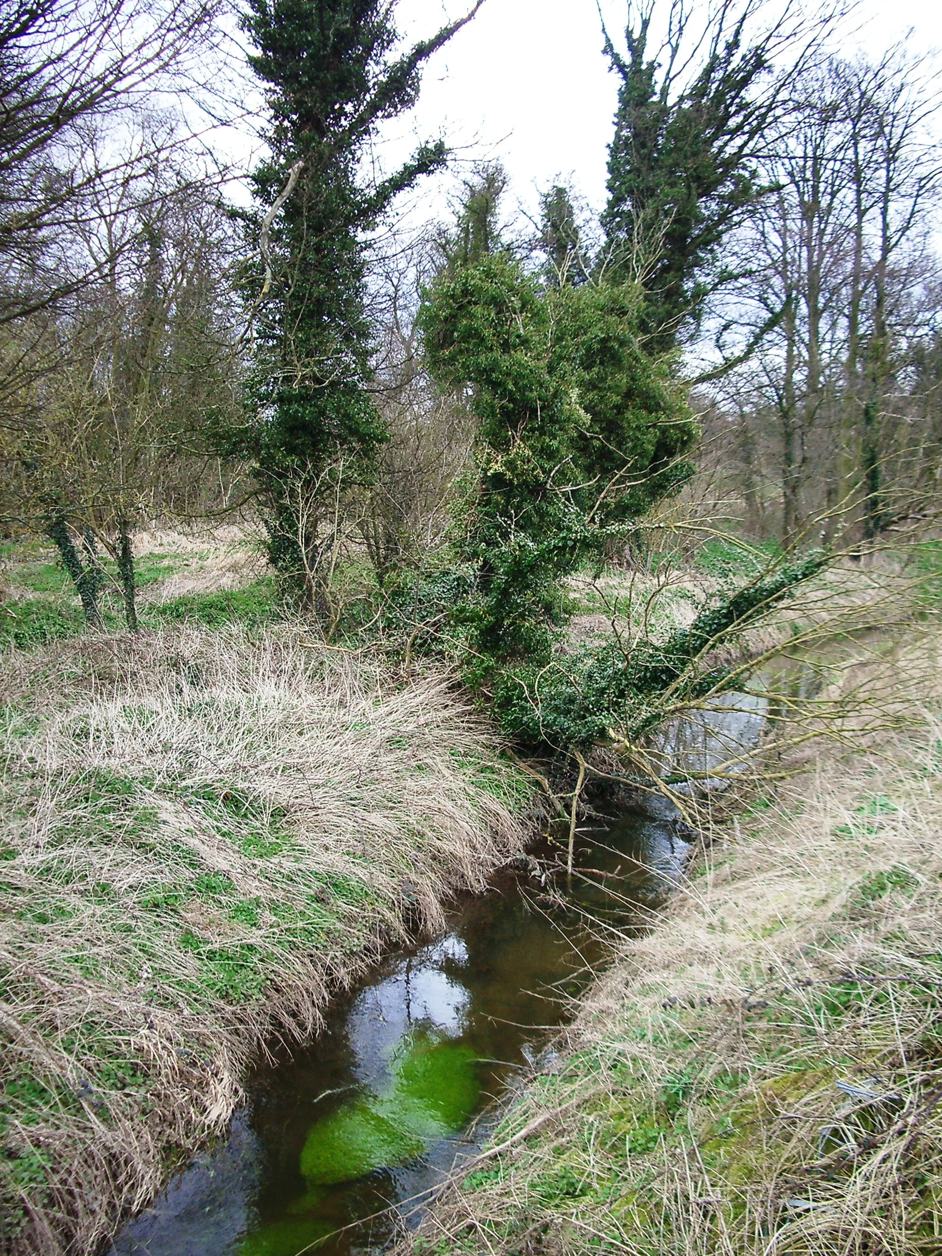
In 1707, Reverend George Plaxton, who served as vicar for Kynnersley for over 30 years, wrote a series of observations on the life of the parish during his time there. He arrived in the village in November 1673, finding it to be ‘surrounded with a large morass’ (by which he meant the moors themselves) overflowed to the extent ‘that you could not come into the parish in anyway (sic) upon arable land’. This state of affairs appears to have been nothing new. Another account from the late 16th Century refers to local farmers being forced to make ‘plattes and passages’ for their cattle to cross the moors ‘or else drag them on their sides’!
Nevertheless, the section of the Rough Moor between Kynnersley and Preston was especially valued by locals because it contained the only woodland in the area. This in itself appears to have brought with it some disadvantages, as Plaxton recalled… ‘I have been assured by aged people that all the wild moors were formerly so far overgrown by rubbish wood, such as alders, willows, salleys, thorns and the like that the inhabitants commonly hung bells about the necks of their cows that they might the more easily find them’. Yet, while life amid the wild and watery moors could certainly be onerous, many Kynnersley folk appeared more than capable of rising to the challenge…

Despite the difficulties presented to villagers by Kynnersley’s isolated situation, Reverend Plaxton was quick to point out the high number of elderly parishioners in his charge when he arrived there; one in every six of whom he estimated to be 60 years and upwards, with some aged between 85 and 90! Could it have been that the inhabitants owed their longevity to the watery surroundings? While that is impossible to quantify, the wetlands certainly proved to be an important source of sustenance for generations of villagers.
Kynnersley folk enjoyed the right to cut local peat for domestic fuel on the moors over the course of many centuries; a privilege that was enshrined in the leases of tenants of the Lilleshall estate from at least 1569. Local maps of the era record peat pits and diggings belonging to villagers at a number of locations, including the Eylemoor (southwest of The Wall), the Gawmoors (northwest of Rodway Bridge) and Waters Upton Moor — where Kynnersley men are known to have maintained ‘doles’ in the early 17th Century. In his reminiscences, Reverend Plaxton commented that the practice still went on in his time, with peat measuring ‘three to four feet thick’ still present in some parts of the lordship. However, peat cutting appears to have died out by the mid 1800s, when agricultural improvements had rendered the moorland deposits unusable as fuel.
| Cookie | Duration | Description |
|---|---|---|
| cookielawinfo-checkbox-analytics | 11 months | This cookie is set by GDPR Cookie Consent plugin. The cookie is used to store the user consent for the cookies in the category "Analytics". |
| cookielawinfo-checkbox-functional | 11 months | The cookie is set by GDPR cookie consent to record the user consent for the cookies in the category "Functional". |
| cookielawinfo-checkbox-necessary | 11 months | This cookie is set by GDPR Cookie Consent plugin. The cookies is used to store the user consent for the cookies in the category "Necessary". |
| cookielawinfo-checkbox-others | 11 months | This cookie is set by GDPR Cookie Consent plugin. The cookie is used to store the user consent for the cookies in the category "Other. |
| cookielawinfo-checkbox-performance | 11 months | This cookie is set by GDPR Cookie Consent plugin. The cookie is used to store the user consent for the cookies in the category "Performance". |
| viewed_cookie_policy | 11 months | The cookie is set by the GDPR Cookie Consent plugin and is used to store whether or not user has consented to the use of cookies. It does not store any personal data. |